Through sculpture, installation, and printmaking, my work resonates with questions about how we situate ourselves in the world in relation to the information and images we consume. Collecting, mapping and archiving are the actions I use to explore subtle links between the natural and the artificial, the real and the facsimile, intuition and reason. In my practice, mapping, as a process, is inventing strategies to visualize information that makes new interpretations possible. My recent research investigates the distortion of reality in cartographic depictions and how they are presented to us as accurate images of a territory; this is critical in today’s context, where technology has created a new generation of cartographers who can manipulate data into any number of visual representations. I speculate about the image of the world we build through maps, the power relations they contain, and the information they deny and hide.
Using scientific and historical references, I aim to create spaces for reflection on the fraught relationship that exists between the cartographies of a space in relation to its reality and our understanding of it. Through the construction of installations that explore terrestrial and celestial views, I question the stable definition of territories and representations of the past that have been considered true in the conception of our history. With the advice of astronomers, archeologists and geographers, I am developing work that examines the history of precolonial territories, creating proposals that make visible the gap that exists between the different ways of approaching the world.
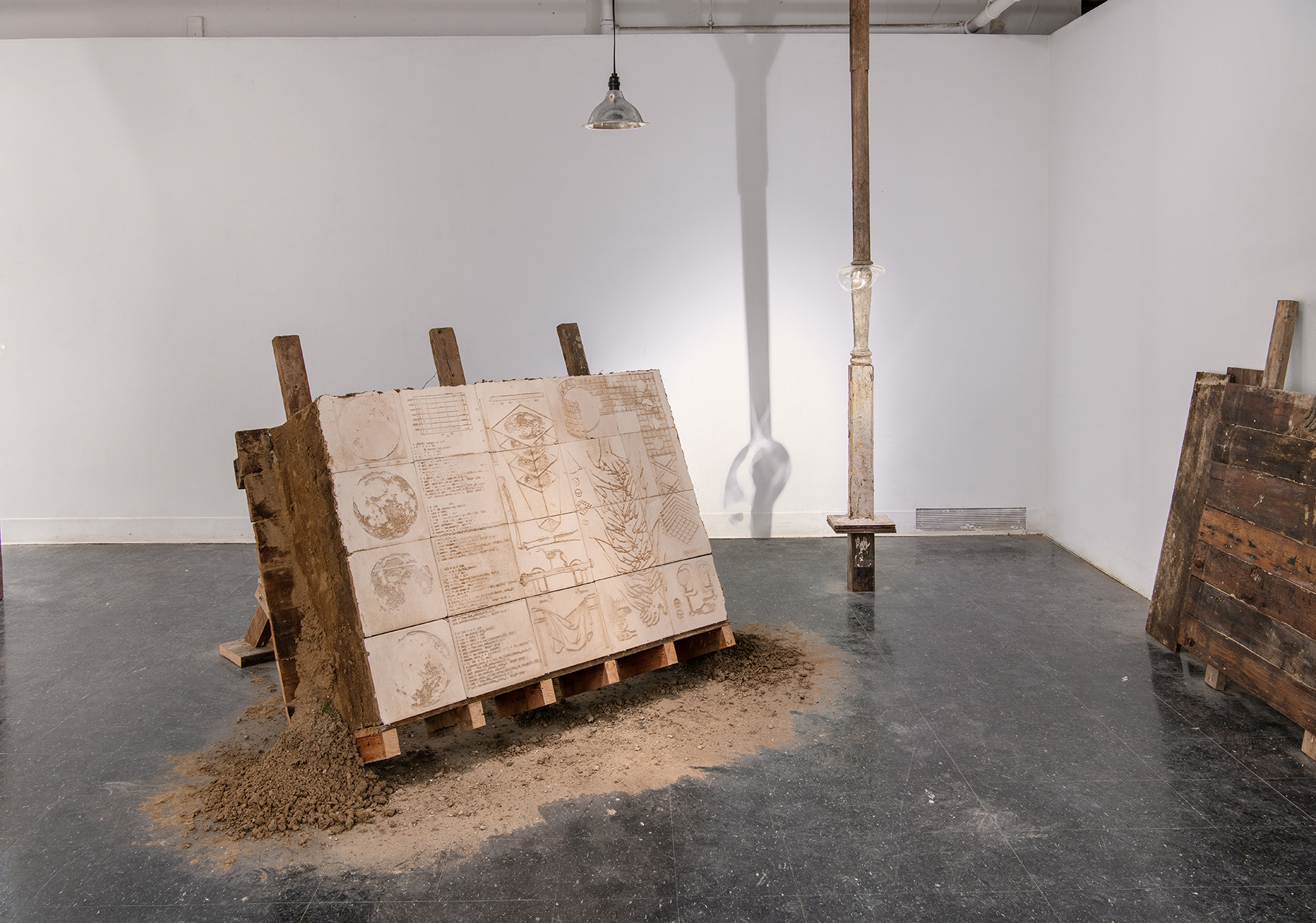
Installation Views

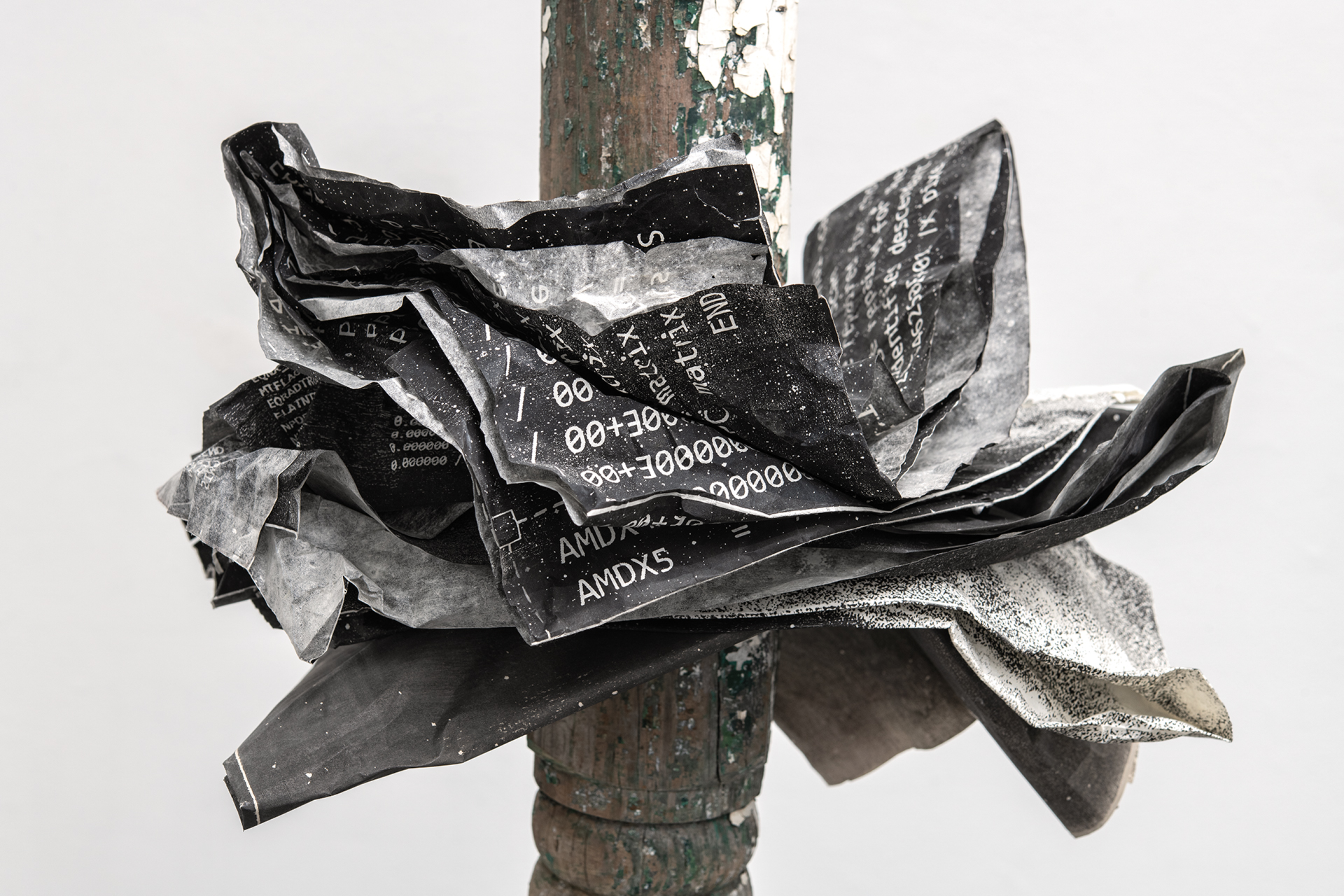
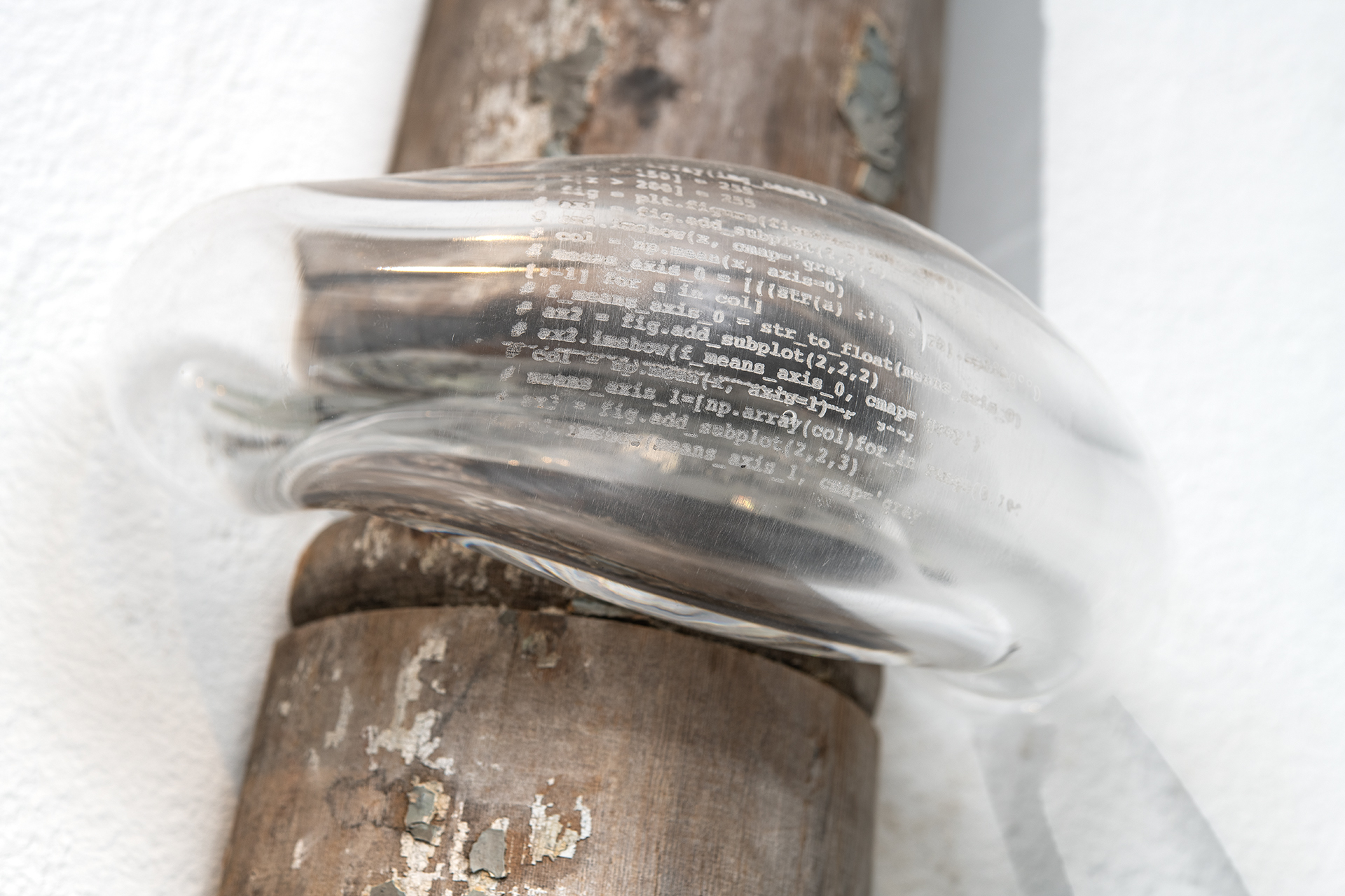
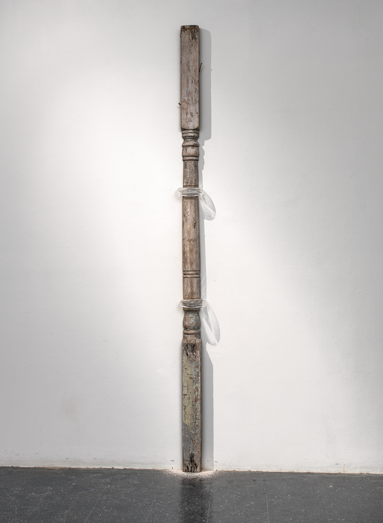
Detail of Pillars

Detail of Pillars

Between Emergency and Imminence, Laser engravings on wood printed on eggshell powder and plaster, wooden structure, dirt, cement, and sand, 48” x 72” x 72”

